EVIDENCE ATTACHED TO EVERY HAND-OFF
A replaceable geospatial stack with narrow authority.
The proposed technical system would organise approved data, deterministic analysis, specialist adapters and human review. The public interfaces below are local prototypes, not an operational customer platform.
WAREHOUSE-NEUTRAL CORE
Keep the evidence spine stable while tools change.
- 01Evidence layer
Versioned geospatial assets, source rights, coverage, quality and provenance.
- 02Analysis layer
Bounded calculations and replaceable specialist models with declared validation state.
- 03Delivery layer
Maps, comparison views and evidence packs prepared for professional review.
INTERACTION AS EVIDENCE
Inspect the proposed controls before trusting the interface.
ONE FIXED SITE · TWO CONTROLLED RESEARCH MODES
Move from source to decision without hiding the hand-offs.
These interfaces make the proposed control pattern tangible. They use local fixtures and illustrative assets, not live client data, operational models or measured cooling results.
- 01ObserveApproved site evidence
- 02RepresentDeclared spatial support
- 03CompareBounded alternatives
- 04ReceiptAuthority and effect
STRICT TOOL CONTRACT
Ask for evidence. See the authority boundary.
A local fixture demonstrates how approved map actions can return an inspectable receipt. Unapproved tools, layers and parameters are refused without changing the evidence view.
- request
- fixture-show-signal
- tool
- set-deck-state
- code
- applied
- authority
- visualisation-only
- effect
- Historic EO fixture layers shown.
Every button sends a strict fixture request through the same validator. Disallowed tools, layers and parameters are refused without changing the map state.
Illustrative surface signal staged. Date, scale and uncertainty remain attached.
GEOSPATIAL SCREENING TO SPECIALIST MODELLING
Scale the evidence pipeline, not the claim.
Transfers between site evidence and specialist models require explicit inputs, validation, cost approval and retained receipts.
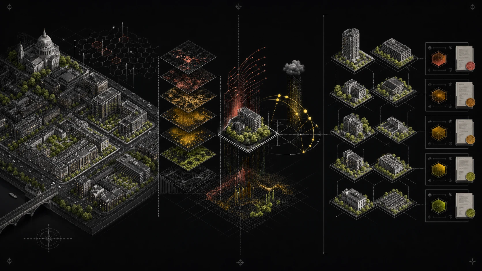
Versioned geospatial assets keep broad-area screening inspectable before specialist compute begins.
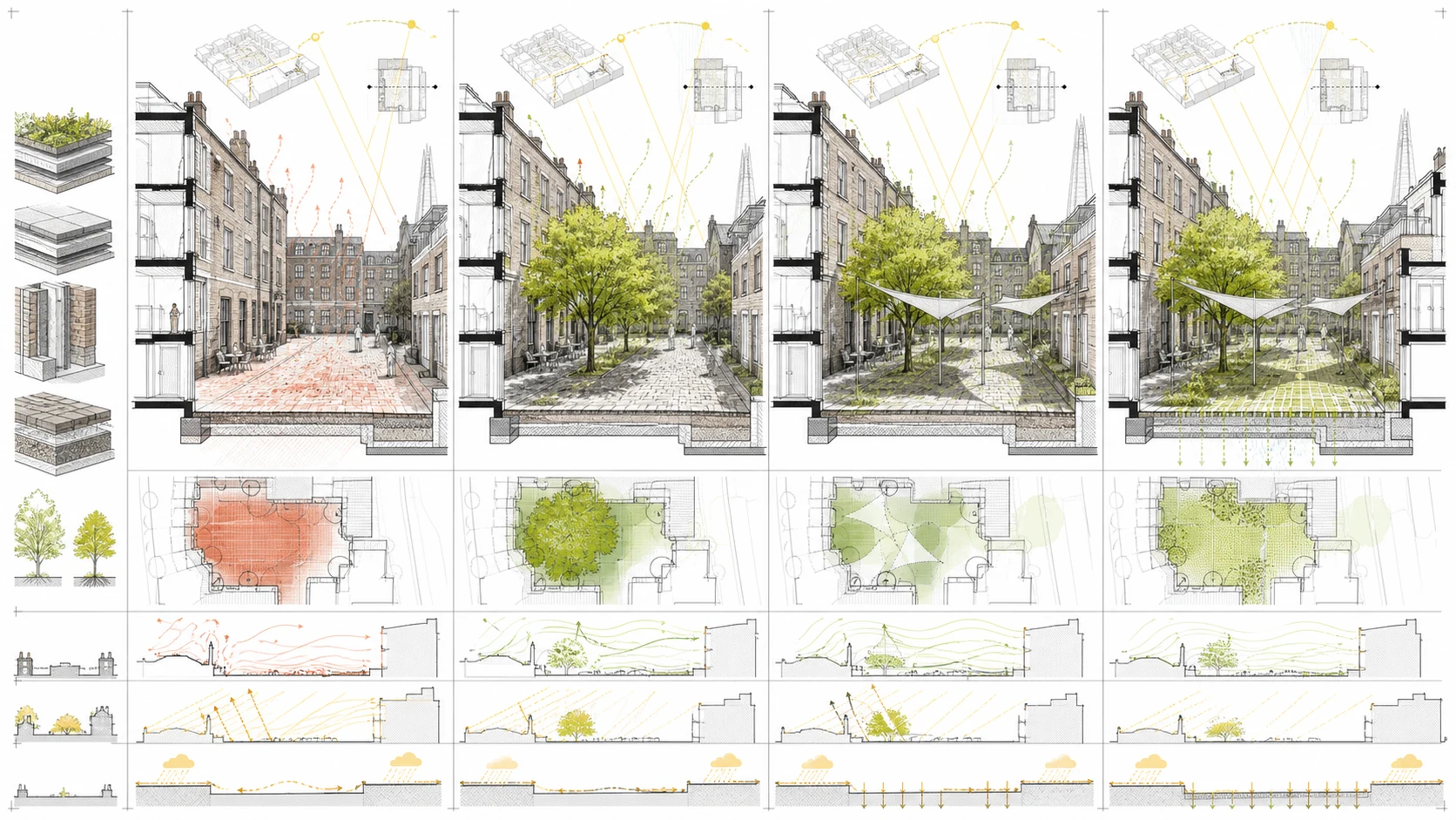
Illustrative drawing only. No simulated performance is claimed.
REUSE REQUIRES A RIGHTS RECORD
Prior experience informs the design. Transfer is not assumed.
Selected founder-authored assets may be scheduled as Background IP only after provenance, employment, third-party and company-title review. Public knowledge may inform a new implementation; code, data and trained artefacts do not move between programmes by default.
- 01Earth observationPROPOSED PILOT
Historic surface conditions, optical context and place representations
- 02Spatial validationPROVENANCE REVIEW
Blocked cross-validation, deployment-distance diagnostics and explicit support
- 03Browser geospatialPROVENANCE REVIEW
Content-addressed GeoParquet analysis and PMTiles visual delivery
- 04Environmental simulationGATED ADAPTER
Cost preview, approved execution and baseline-to-option comparison
- 05Controlled interfacesLOCAL PROTOTYPE
Task-specific instructions, approved tools, deterministic services, evidence receipts and visible refusal
- 06Comparable placesRESEARCH TRACK
Warehouse-neutral embedding actions for similarity, change and clustering
AI MAY
Retrieve approved evidence, select named tools, compare recorded outputs and draft from citations.
AI MAY NOT
Invent measurements, select unapproved sources, run unrestricted analysis, determine compliance or release a result.
INSURTECH AND FINANCE INTEGRATION
Route to specialist systems through explicit adaptor interfaces.
The platform remains an evidence and workflow engine. Underwriting, capital treatment and statutory disclosures are activated through reviewed adapter outputs and accountable specialist sign-off.
- INSURANCE CLIMATE WORKFLOW
Specialist-led pricing and actuarial adaptors connect to our evidential outputs via defined handoff packs.
- FINANCIAL DISCLOSURE
Scenario dictionaries and exposure ledgers generate climate-finance material for internal drafting systems.
- SCALE ENGINE
Controlled model adaptors allow one evidence-spine to serve advisors, insurers and finance teams without rewriting source logic.
WHAT WE ARE TRACKING BEFORE CLAIMING CLAIMS
- GeoAI and GeoJS workflowsProof-level signal
Browser-side GeoAI tasks support local feature extraction and segmentation prototypes.
https://docs.geobase.app/geoai-live - AlphaEarth custom embeddingsLive preview
Google’s custom timeline indicates higher-frequency monitoring for event-aware updates.
https://mapsplatform.google.com/resources/blog/introducing-custom-satellite-embeddings-powered-by-alphaearth-foundations/ - GeoLibre stackLive release
Open, browser-first GIS stacks show a path for local vector workflows and adapter routing.
https://github.com/opengeos/GeoLibre/releases/tag/v0.4.0 - TESSERA concept explorationExperimental prototype
Pixel-wise embedding exploration in-browser can support hypothesis testing before specialist modelling.
https://tze.geotessera.org/